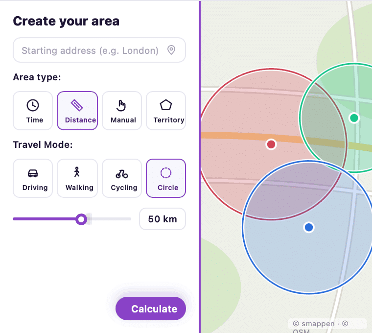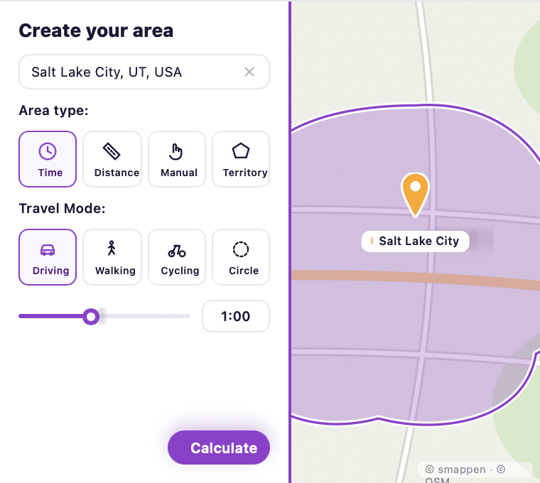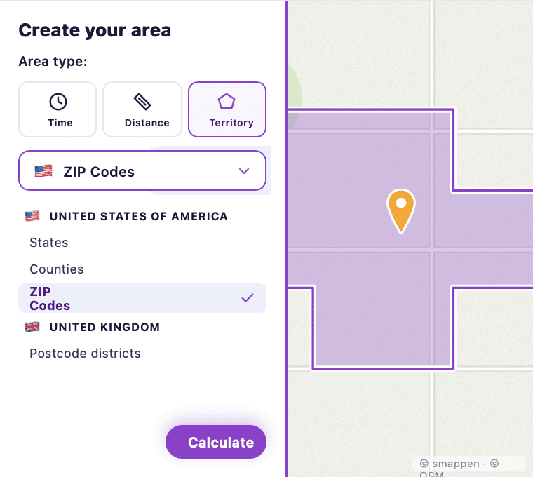


Design Viable Territories for Your Network
Draw territories the way your model actually operates: by drive time, distance, postal code, or freehand. No GIS expertise required. Color-code by status: available, sold, in negotiation, and get an instant view of where your network stands.
Start Free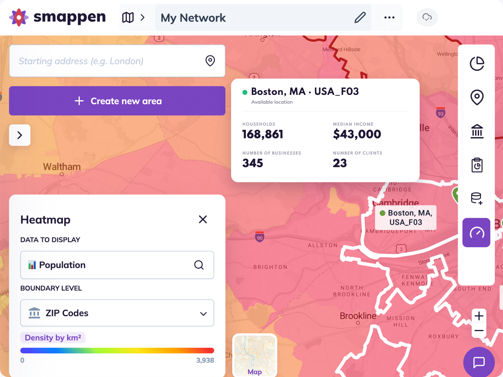
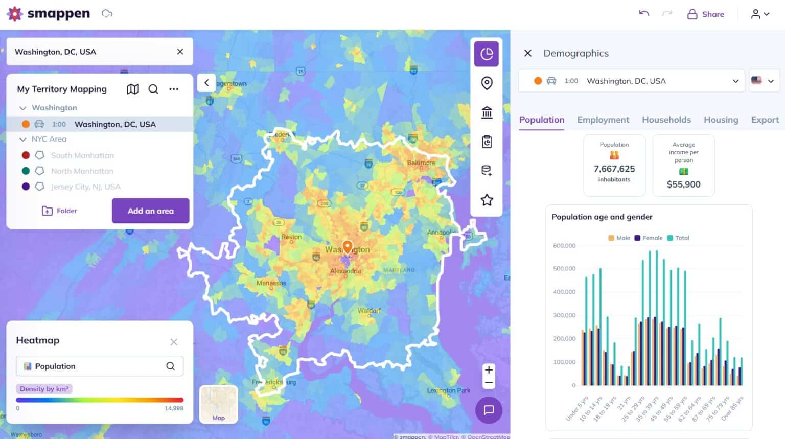
Back Your Decision With Reliable Data
Every territory you draw comes loaded with data: population, household income, age distribution, employment stats, and 40M+ points of interest including competitors, businesses, and local amenities. Layer census data on any zone, spot market gaps, and validate potential before you make a move.
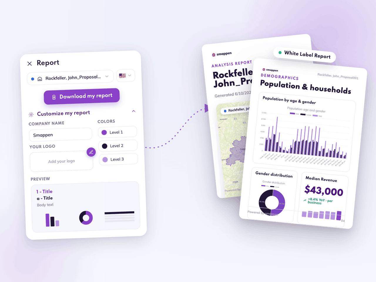
Turn Your Territories Into Your Best Sales Asset
A strong territory is the most convincing thing you can put in front of a franchise candidate. Generate branded, shareable reports directly from your maps: showing market potential in a format your prospects can act on immediately.
Download a Sample ReportBuilt for growing franchises
and multi-unit brands
From your first territory to a full multi-unit network. Without the cost or complexity of legacy tools.

Territories that protect your network
Whether it's a 10-minute drive or 50,000 households, design territories based on how your franchise actually operates. Give every franchisee the market they need to succeed.

Priced for where you are today
Monthly, commitment-free subscription. Switch on when you're recruiting, pause when you're not.

Productive from day one
Sign up and map your first territory the same day. No GIS expertise required. Just log in, and you're mapping.

One platform for your whole journey
Unlock advanced features as you need them. Expand across the US, Canada, UK & Australia without switching tools. We scale with your network, not ahead of it.
Territory Mapping Tool
Map, visualize, analyze, and manage territories. With Smappen, define precise areas based on drive time, radius, or administrative boundaries like ZIP codes and counties. Overlay demographics, competitor locations, and market data to make smarter location decisions. Used by sales teams, retailers, and franchise brands.
All features